Friends of the Wissahickon has launched its Streambank Resiliency and Flood Study, an effort to address longtime trail issues in the park and the increasing risk of flooding due to climate change.
Researchers will assess sites vulnerable to erosion and flooding, as well as recommend several restoration projects. The study aims to improve water quality, trail access, safety and the aesthetic of the park, according to FOW.
A consultant, Princeton Hydro, will collaborate with FOW, the Philadelphia Water Department, Philadelphia Parks & Recreation, and members of the public on the …
This item is available in full to subscribers.
You can also purchase this individual item for $1.50
We have recently launched a new and improved website. To continue reading, you will need to either log into your subscriber account, or purchase a new subscription.
If you are a digital subscriber with an active subscription, then you already have an account here. Just reset your password if you've not yet logged in to your account on this new site.
If you are a current print subscriber, you can set up a free website account by clicking here.
Otherwise, click here to view your options for subscribing.
Please log in to continue |


Friends of the Wissahickon has launched its Streambank Resiliency and Flood Study, an effort to address longtime trail issues in the park and the increasing risk of flooding due to climate change.
Researchers will assess sites vulnerable to erosion and flooding, as well as recommend several restoration projects. The study aims to improve water quality, trail access, safety and the aesthetic of the park, according to FOW.
A consultant, Princeton Hydro, will collaborate with FOW, the Philadelphia Water Department, Philadelphia Parks & Recreation, and members of the public on the report, which will serve as a roadmap for the next decade of FOW’s stormwater management efforts.
“We need your information,” Sean Walsh, a senior project manager and engineer for Princeton Hydro, said at the study’s first public meeting on May 7. “You guys know this park very well. I come to the park when I can and my kids love this place, but I don’t know it as well as you guys do. We want to hear not just your ideas of what’s wrong, but what do you think would work better?”
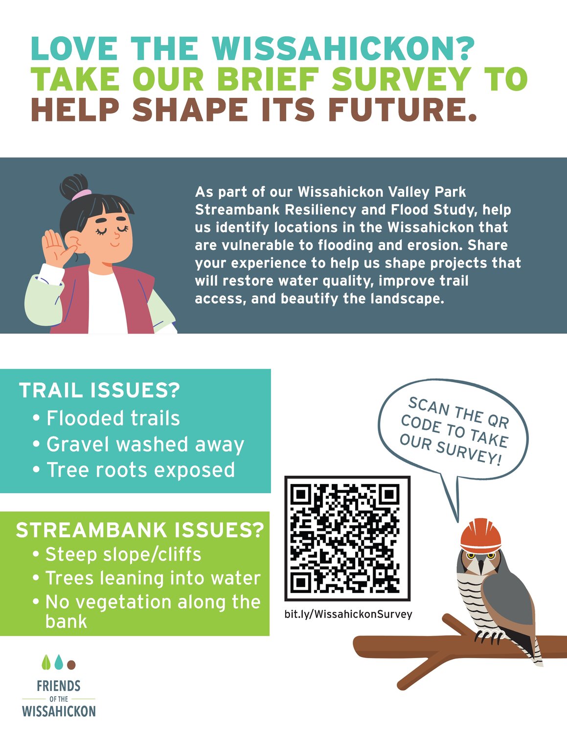
FOW released an online survey asking respondents to describe the types of issues they see in the park and recommend what areas the study should prioritize. The survey is available until June 6 and people can access it here.
The organization got a $55,000 state grant to conduct the project, which builds on a 2017 assessment of Forbidden Drive and Wissahickon Creek. Forbidden Drive runs along the banks of the creek and has steep slopes above and below. Due to lack of maintenance on its drainage system, more than 400 stormwater gullies had formed in the area by 2017. FOW partnered with Parks and Recreation and the water department to remediate three bank collapse sites along the path. Stakeholders have continued to document flooding and erosion issues on Forbidden Drive.
FOW has seen a rise in park visitors over the past five years, and Forbidden Drive one of the most popular trails.
“That level of high visitorship combined with these high frequency and severity stormwater events results in having infrastructure that can’t keep up with that pressure. The study is a response to that,” Pauline Berkowitz, director of capital projects for FOW, told the Local.
Climate change is increasing flood risks across the globe by causing higher sea levels, more hurricanes and heavier rainstorms. Around Wissahickon Valley Park, urbanization has erased natural surfaces that slow down and absorb rainwater.
Stormwater runoff can flood trails in the park and cut away at stream banks. The damage can hinder the water quality in Wissahickon Creek, as well as the Schuylkill River, harm wildlife habitats and impair public infrastructure like bridges and manholes for water pipes.
Trail issues in the Wissahickon include exposed roots, muddy sections and overgrown vegetation, Walsh said. Visitors sometimes walk off outlined trails and cause more erosion. Along the streambanks, there are steep slopes, a lack of vegetation, leaning trees in the water, damaged pipes and built-up piles of sediment.
At the public meeting, attendees marked areas on maps that experience trail issues, unstable streambanks, erosion and flooding. People marked vulnerable flooding spots along Carpenters Run, Forbidden Drive near Wises Mill Run and other spots.
FOW volunteers Debbie Hoellein and Jim McClory said there’s a section of the Orange Trail near Fingerspan Bridge that is susceptible to flooding, even in warm months like August. Rocks on the trail section get soaked after a rainstorm, making it more of an issue for safe hiking, McClory said.
Julie Good serves as a FOW zone steward, an active volunteer that reports the most urgent needs in a designated section. She said the water department has improved stormwater management in certain areas of the park. But overall, the damage is getting harder to manage as storms become more intense, bringing torrential downpours and strong winds, she said. When she was younger, it rarely flooded around Rex Avenue and now the area is “usually a washout.”
Researchers will begin field survey work this month and plan to host another public meeting in November, before submitting a final report to FOW in January, Walsh said. They will brainstorm ideas for construction costs, permit analysis and other elements so FOW can use the information to get grants to improve the park.
Potential restoration ideas include rain gardens, storm basins, removing invasive species and installing more permeable surfaces on trails and parking lots, he said.
Visitor Lisa Donahue has assisted with trail restoration and stormwater diversion projects around the park. The effectiveness of these efforts shows how impactful climate action can be at the local level.
“Every time we pull out invasives and replace it with natives. We are helping the food web of creatures that use the park and the ecological health of the park. We’re stabilizing it for human use also,” she said.
In addition to the flood study, FOW will design a plan to mitigate stormwater runoff near the Wissahickon Environment Center and restore an eroding 500-foot gully along the trail behind Pachella Ball Field.



